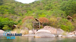
All About Dedza
Basic Information about Dedza
| Land Area (km2) | 3,624km2 (Ranking No.11 / 28 districts) |
|---|---|
| Population | 830,512 (Ranking No.7 / 28 districts) |
| Population Density | 229/km2 (Ranking No.10 / 28 districts) |
| Literacy Rate | 56.82% (Ranking No.26 / 28 districts) |
| Electrification Rate | 3.72% (Ranking No.26 / 28 districts) |
| Water pipe Rate | 7.04% (Ranking No.12 / 28 districts) |
*The data is as of 2018.
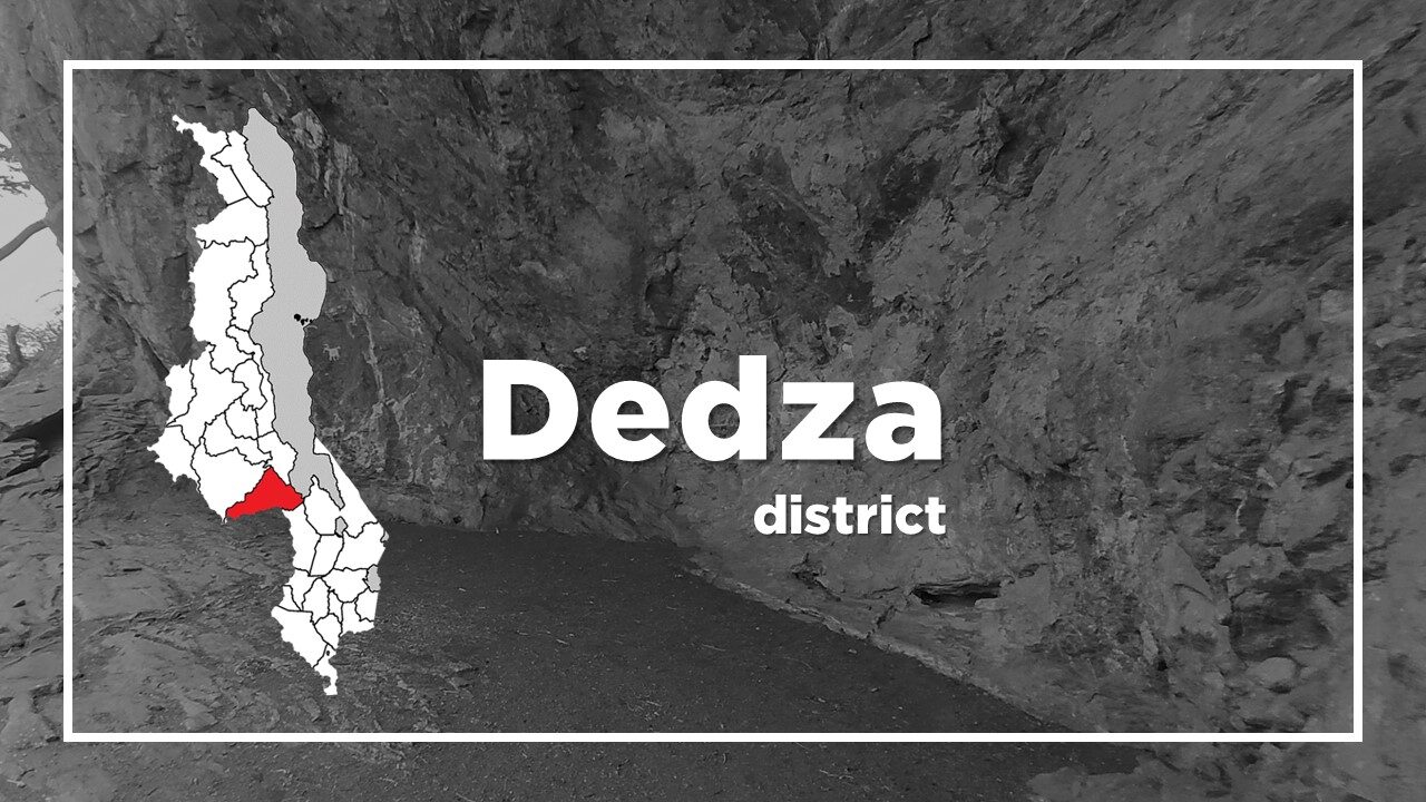
Dedza is a neat and relaxed district, situated 85km southeast of Lilongwe, 230km north of Blantyre, and not much further from the border with Mozambique.
It is one of the highest and coolest places in Malawi, set at an altitude of 1,590m (5,200ft) in a beautiful landscape of forests and highlands, with the tree-covered Dedza Mountain rising up immediately behind the town.
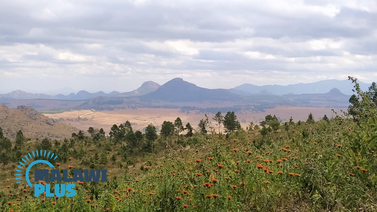
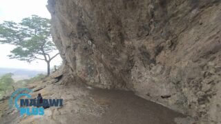
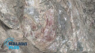
The town holds considerable allure for walkers, birdwatchers and other outdoor enthusiasts, and it is especially noteworthy for its wealth of archaeological and cultural sites.
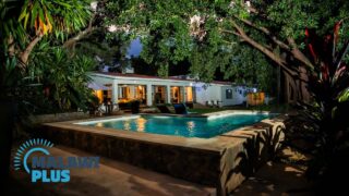
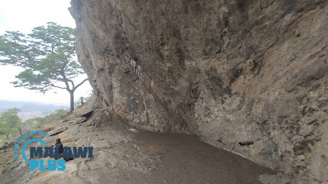
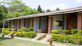
The Chongoni Rock Art Area is a UNESCO World Heritage Site and Dedza Pottery is famous for its coffee shop which sells delicious cakes and ceramics; from mugs and dinner services to table lamps and tiles and it also provides accommodation.
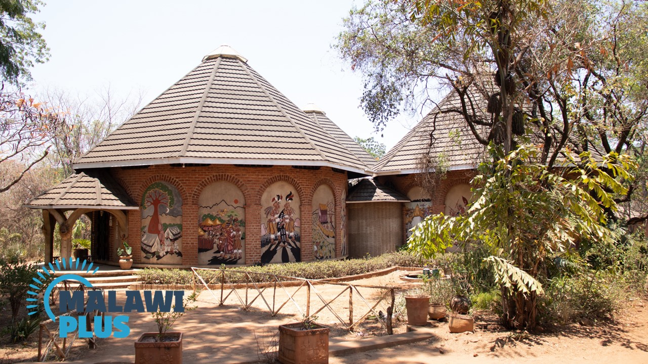
The Kungoni Centre of Culture and Arts at Mua Mission has a museum that displays the cultural heritage of the tribes of central Malawi, a wood carving school and accommodation.
Chichewa is the main language spoken in Dedza.
Dedza Population by Tribe
| Tribe | Chewa | Ngoni | Yao | Sukwa | Others |
| Percentage | 64.50% | 20.62% | 9.44% | 3.59% | 1.85% |
*The data is as of 2018.
Dedza Population by Religion
| Religion | Christian | Islam | Others | No Religion |
| Percentage | 73.38% | 9.50% | 12.18% | 4.94% |
*The data is as of 2018.
Accommodations in Dedza
Things to Do in Dedza
Plan a Trip to Dedza
