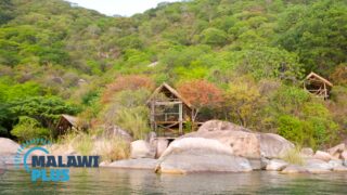
All About Karonga
Basic Information about Karonga
| Land Area (km2) | 3,355km2 (Ranking No.14 / 28 districts) |
|---|---|
| Population | 365,028 (Ranking No.19 / 28 districts) |
| Population Density | 109/km2 (Ranking No.22 / 28 districts) |
| Literacy Rate | 79.86% (Ranking No.5 / 28 districts) |
| Electrification Rate | 12.03% (Ranking No.7 / 28 districts) |
| Water pipe Rate | 16.30% (Ranking No.3 / 28 districts) |
*The data is as of 2018.
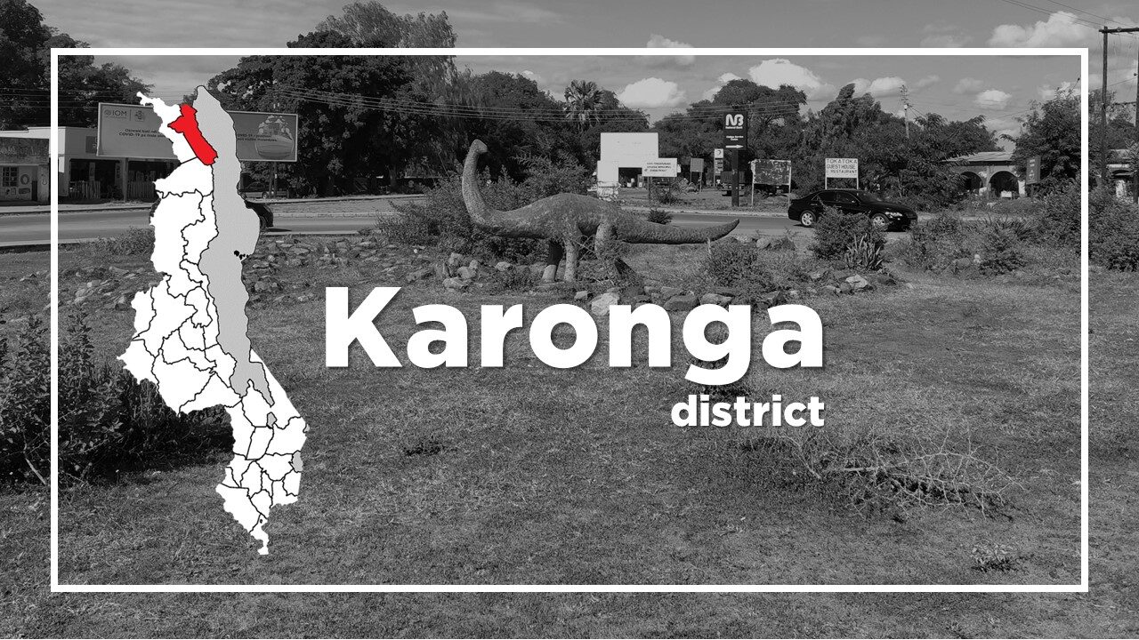
Karonga district is one of the largest and oldest districts in the far north of Malawi.
The Songwe border post into Tanzania is located at around 40km north from main town.
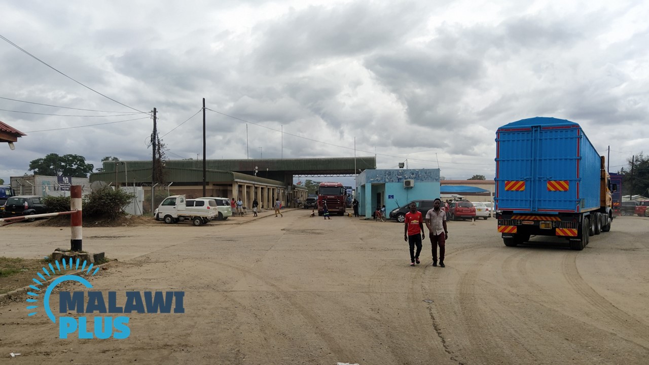
Karonga was established in 1883, and remained somewhat isolated until 1981, when the surfaced M1 was extended far north, and it enjoys significant economic benefits when the first bridge across the Songwe River on the Tanzanian border was constructed in 1988.
The town received another economic shot in the arm in 2008 with the opening of the controversial Kayelekera Uranium Mine 40km to the west.
Today, Karonga is known as one of the largest port towns on Lake Malawi.
Historically, Karonga was known for its slave trading industry in the nineteenth century.
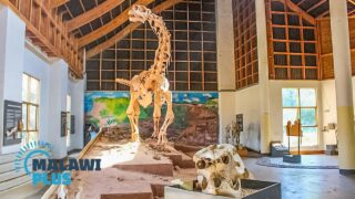
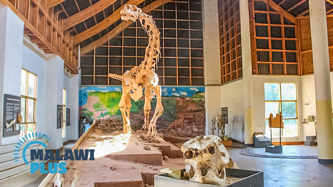
It also has the proud title of Malawi’s ‘fossil district’, with well-preserved remains of dinosaurs and ancient humans.
Its most famous discovery is the Malawisaurus (Malawi Lizard), a 120-million-year-old fossilised dinosaur skeleton found 45km south of Karonga.
A fragment of humanoid jawbone roughly 2.4 million years old was also discovered near Uraha village in Karonga in 1991.
The main tourist attraction is the Cultural & Museum Centre, which focuses on the region’s fascinating history and prehistory.
Chitumbuka is commonly spoken in Karonga for both home and school.
Karonga Population by Tribe
| Tribe | Tumbuka | Nkhonde | Sukwa | Lambya | Others |
| Percentage | 41.73% | 37.99% | 3.30% | 2.48% | 14.5% |
*The data is as of 2018.
Karonga Population by Religion
| Religion | Christian | Islam | Others | No Religion |
| Percentage | 87.23% | 1.38% | 10.91% | 0.48% |
*The data is as of 2018.
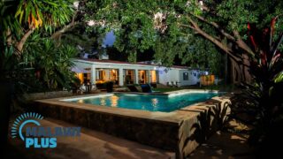
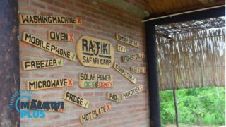
Accommodation in Karonga
Things to Do in Karonga
