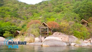
All About Salima
Basic Information about Salima
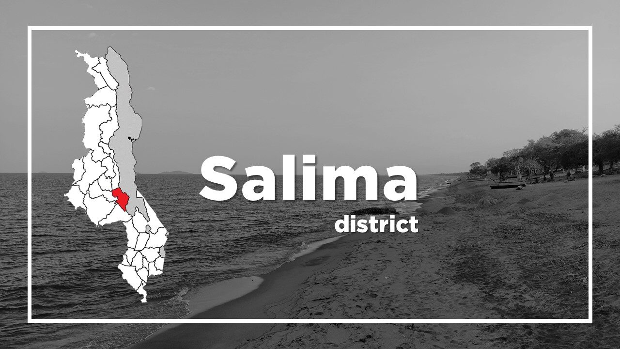
| Land Area (km2) | 2,196km2 (Ranking No.17 / 28 districts) |
|---|---|
| Population | 478,346 (Ranking No.15 / 28 districts) |
| Population Density | 218/km2 (Ranking No.11 / 28 districts) |
| Literacy Rate | 60.84% (Ranking No.23 / 28 districts) |
| Electrification Rate | 6.52% (Ranking No.15 / 28 districts) |
| Water pipe Rate | 7.04% (Ranking No.12 / 28 districts) |
*The data is as of 2018.
Salima is an important service and trading centre which lies 110km east and is about one and a half hours’ drive from Lilongwe.
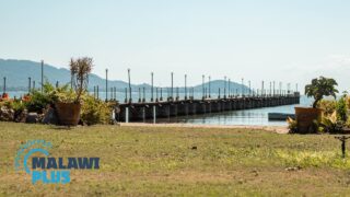
To the East of Salima town is Senga Bay which is the closest Lake Malawi resort from Lilongwe.
Senga Bay is often referred to as Salima, the nearest town and the administrative district in which it lies.
The town has become a popular weekend retreat and conference venue for residents of Lilongwe.
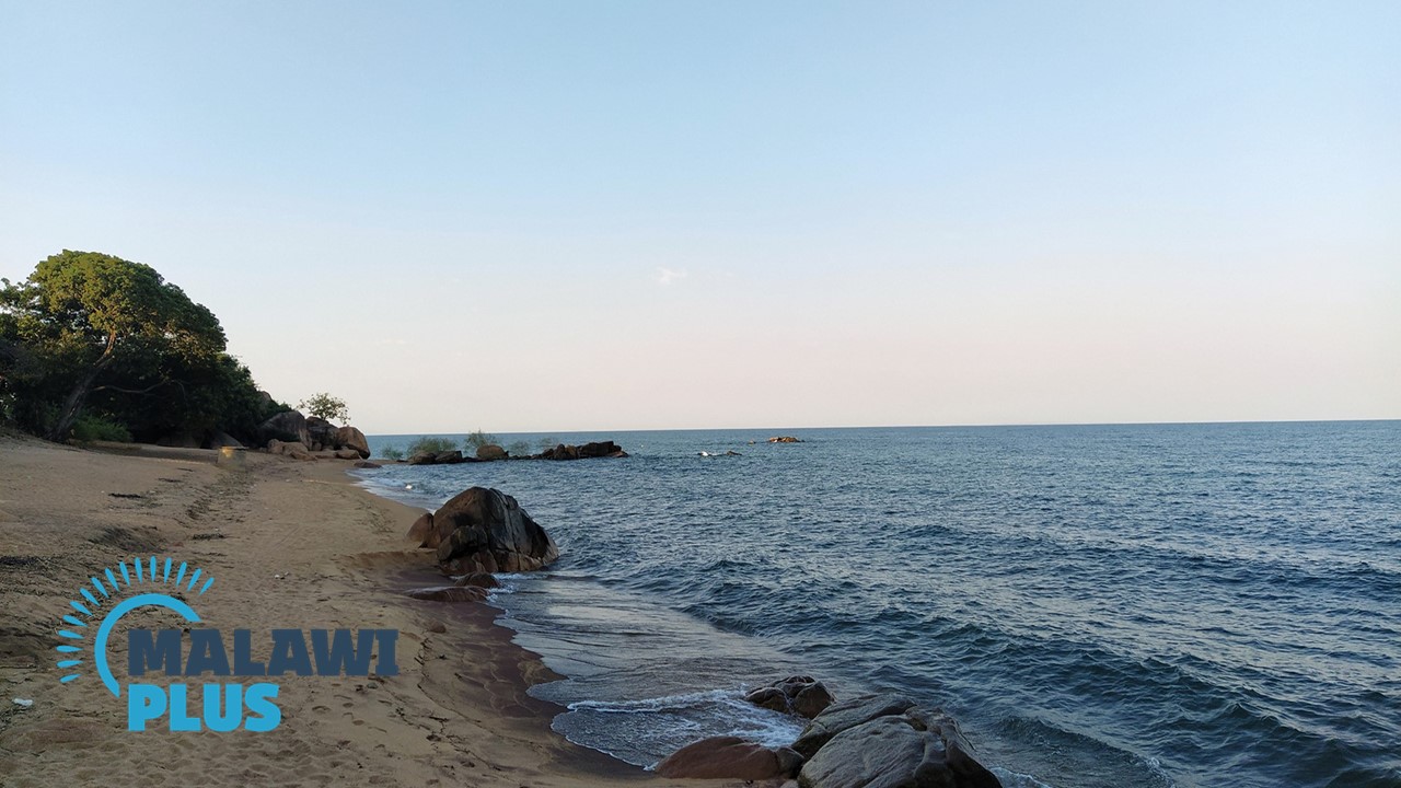
Senga Bay isn’t as scenically dramatic as Cape Maclear or Nkhata Bay.
The main reason for its popularity is simply its proximity to Lilongwe.
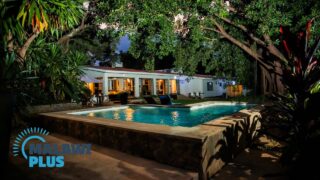
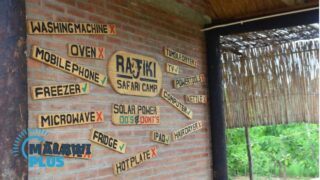
The town has a broad stretch of sandy beaches and is host to a range of hotels, extending from luxurious to small lodges and campsites.
For those with private transport, the private Kuti Wildlife Reserve on the outskirts of Salima is worth a visit, as is the nearby Thuma Forest Reserve.
Further south, Mua Mission offers fascinating insights into the cultures and tribes of the central region, and it is easily visited as a day trip from Senga Bay.
Chichewa is the main language spoken in Salima.
Accommodations in Salima
Salima Population by Tribe
| Tribe | Chewa | Yao | Ngoni | Lomwe | Others |
| Percentage | 72.88% | 19.01% | 2.94% | 2.02% | 3.15% |
*The data is as of 2018.
Salima Population by Religion
| Religion | Christian | Islam | Others | No Religion |
| Percentage | 61.44% | 30.65% | 5.32% | 2.59% |
*The data is as of 2018.
Things to Do in Salima
