Contents
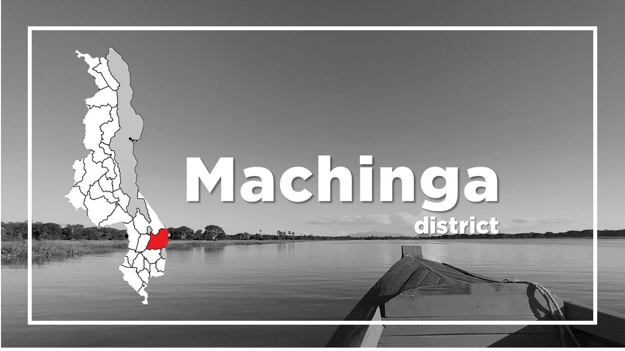
All About Machinga
Basic Information about Machinga
| Land Area (km2) | 3,771km2 (Ranking No.10 / 28 districts) |
|---|---|
| Population | 735,438 (Ranking No.9 / 28 districts) |
| Population Density | 195/km2 (Ranking No.13 / 28 districts) |
| Literacy Rate | 57.26% (Ranking No.25 / 28 districts) |
| Electrification Rate | 4.12% (Ranking No.24 / 28 districts) |
| Water pipe Rate | 3.54% (Ranking No.22 / 28 districts) |
*The data is as of 2018.
Machinga is a district in the Southern Region of Malawi and located along the main road which connects Zomba and Lilongwe.
The town has a reputation of being hot. As you drive down from Zomba, the heat and the humidity of the valley can be sharply felt.
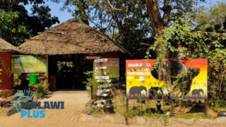
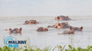
Liwonde National Park is located in the district.
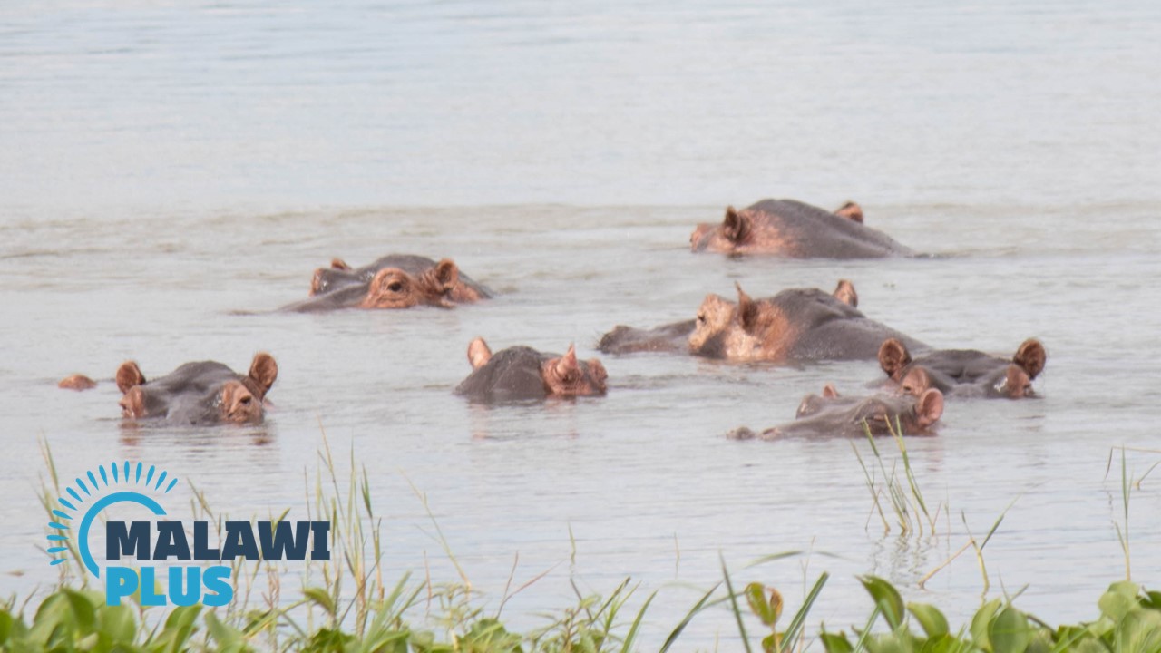
There’s plenty of wildlife around, notably dense concentrations of elephant, hippo and crocodile, and it is undoubtedly one of the best game reserves in Malawi.
Another tourist attraction in Machinga is the beautiful and mysterious sandstone, Chikala pillars.

It’s not as well known as Liwonde National Park or Lake Malawi, but it’s worth a visit.
Machinga Population by Tribe
| Tribe | Yao | Lomwe | Chewa | Nyanja | Others |
| Percentage | 57.79% | 27.48% | 6.44% | 5.43% | 2.86% |
*The data is as of 2018.
Machinga Population by Religion
| Religion | Islam | Christian | Others | No Religion |
| Percentage | 66.98% | 30.65% | 2.17% | 0.20% |
*The data is as of 2018.
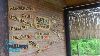
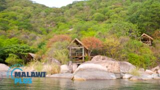
Accommodations in Machinga
The 7 Best Hotels and Lodges in Liwonde and MachingaThe 7 Best Accommodations in Liwonde and Machinga
Machinga is a dis...
Tourist Attractions in Machinga
Liwonde National Park in Machinga, MalawiLiwonde National Park
Entrance Fee
International Visitors
U...
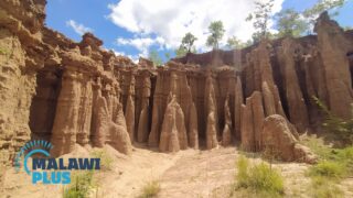
Chikala / Malape Pillars in Machinga, MalawiAbout Chikala / Malape Pillars
Basic Information about Chikala / Ma...