All About Nkhata Bay
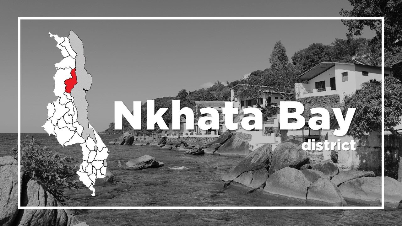
Basic Information about Nkhata Bay
| Land Area (km2) | 4,071km2 (Ranking No.9 / 28 districts) |
|---|---|
| Population | 285,795 (Ranking No.23 / 28 districts) |
| Population Density | 70/km2 (Ranking No.26 / 28 districts) |
| Literacy Rate | 76.64% (Ranking No.7 / 28 districts) |
| Electrification Rate | 8.84% (Ranking No.9 / 28 districts) |
| Water pipe Rate | 12.28% (Ranking No.5 / 28 districts) |
*The data is as of 2018.
Nkhata Bay is at the most northerly point on the Lake reached by David Livingstone, and one of the main ports on Lake Malawi.
Nkhata Bay is dependent on Lake Malawi’s fishing industry but it also has steadily grown in reputation over the past two decades to eclipse Cape Maclear as the most popular traveller congregation point on Lake Malawi.
While most visitors associate Nkhata Bay with lazy days and party nights, the town offers plenty of interest to more active travellers, including kayaking, snorkelling, forest walks, fish-eagle feeding, beach volleyball or simply joining a local football match.
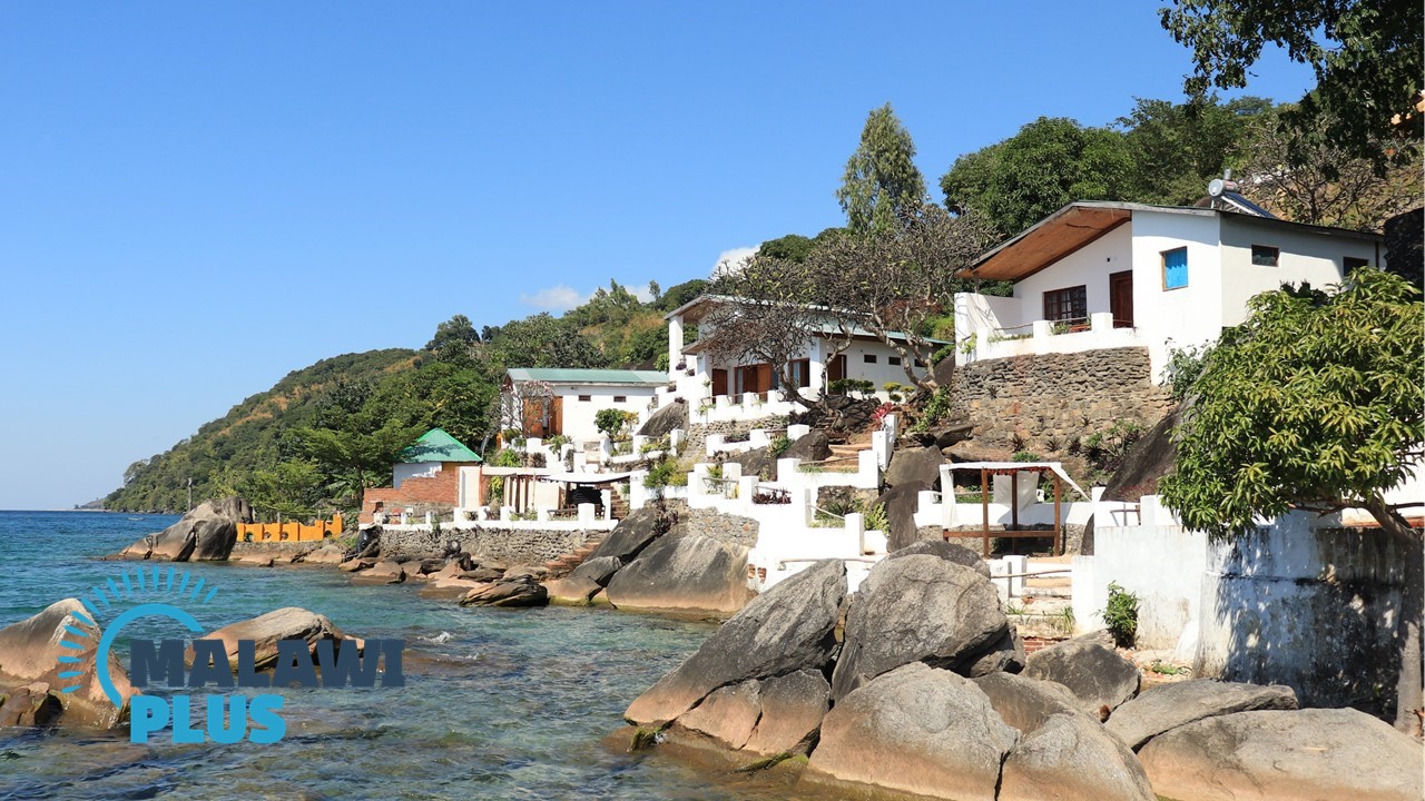
The town is home to the Tonga people who are famed for their love of fine dressing – it’s common to see older men dressed in full suits with Homburg hats, spats and canes.
Chitonga is the main language spoken in Nkhata Bay’s school, while Chichewa is the preferred language in hospitals, churches and radio in Nkhata Bay, although Chitumbuka is the main language spoken in the Northern Region.
Nkhata Bay Population by Tribe
| Tribe | Tonga | Tumbuka | Chewa | Lomwe | Others |
| Percentage | 66.22% | 19.67% | 6.65% | 1.35% | 6.11% |
*The data is as of 2018.
Nkhata Bay Population by Religion
| Religion | Christian | Islam | Others | No Religion |
| Percentage | 91.47% | 1.08% | 7.01% | 0.44% |
*The data is as of 2018.
Accommodations in Nkhata Bay
Things to Do in Nkhata Bay
Shopping in Nkhata Bay
Restaurants in Nkhata Bay
