Contents
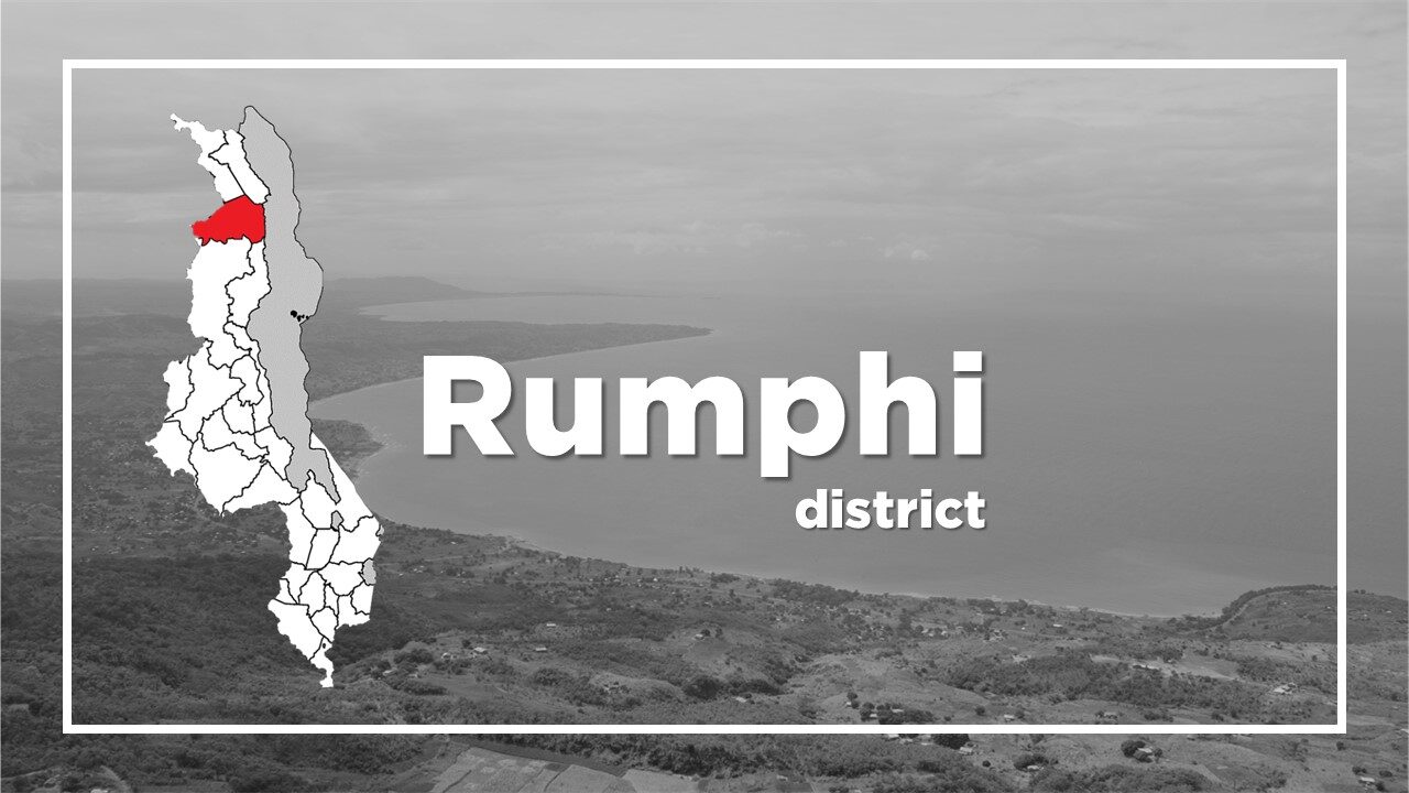
All About Rumphi
Basic Information about Rumphi
| Land Area (km2) | 4,769km2 (Ranking No.5 / 28 districts) |
|---|---|
| Population | 229,161 (Ranking No.25 / 28 districts) |
| Population Density | 48/km2 (Ranking No.28 / 28 districts) |
| Literacy Rate | 82.58% (Ranking No.7 / 28 districts) |
| Electrification Rate | 11.10% (Ranking No.8 / 28 districts) |
| Water pipe Rate | 17.76% (Ranking No.2 / 28 districts) |
*The data is as of 2018.
Located at north of Mzuzu (the capital of Malawi’s Northern Region and the third largest city in Malawi), Rumphi is a lively and friendly district and has the lowest population density among the 28 districts.
The main town is situated about 65km from Mzuzu, and 7km from the M1.
The town acts as the main commercial centre for tobacco industry and the gateway for visits to Nyika National Park and Vwaza Marsh Wildlife Reserve.
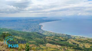
The headquarters of a Church of Scotland mission is located at Livingstonia.
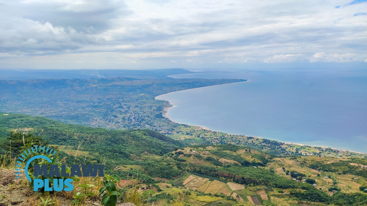
The view overlooking Lake Malawi from the Livingstonia town is breathtaking.
Chitumbuka is the main language spoken in Rumphi.
Rumphi Population by Tribe
| Tribe | Tumbuka | Chewa | Ngoni | Lomwe | Others |
| Percentage | 86.06% | 4.97% | 2.43% | 1.74% | 4.80% |
*The data is as of 2018.
Rumphi Population by Religion
| Religion | Christian | Islam | Others | No Religion |
| Percentage | 93.67% | 1.29% | 4.86% | 0.18% |
*The data is as of 2018.
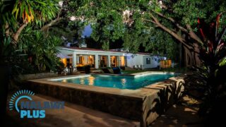
Accommodations in Rumphi
The Best Hotels and Lodges in RumphiThe Best Accommodations in Rumphi
Located at north of Mzuzu (the ca...
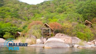
Tourist Attractions in Rumphi
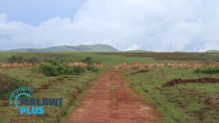
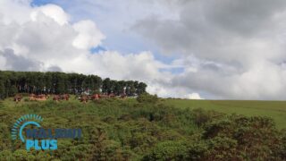
Nyika National Park in Rumphi, MalawiNyika National Park
Entrance Fee
International Visitors
USD...
Livingstonia in Rumphi, MalawiAbout Livingstonia
Basic Information about Livingstonia
Livingston...
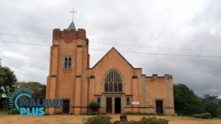
Livingstonia Mission Church and Stone House in Rumphi, MalawiLivingstonia Mission Church and Stone House in Rumphi, Malawi
About...
Things to do in Livingstonia, Rumphi
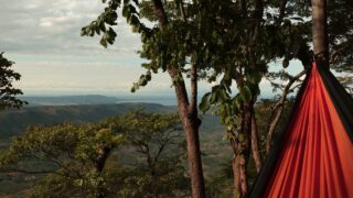
5 Best Things to Do in Livingstonia, Malawi - 20235 Best Things to Do in Livingstonia
Livingstonia is a town in the R...
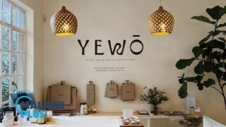
Shopping in Rumphi
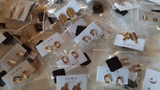
Shopping at Yewo Malawi in Livingstonia, RumphiYewo Malawi
Name
Yewo Malawi
Location
Manchewe villa...